


MAKING EARTH OBSERVATION AND GEO-SPATIAL TECHNOLOGY WORK FOR AFRICA
- Jocelyn Farrington

- Apr 7, 2023
- 2 min read
Updated: Feb 21, 2024
AEI just finished a broad reaching series of interviews with Earth Observation and
Geo-Spatial Technology stakeholders in West Africa. We spoke to research organizations specialized in GIS and EO services; regional policy making institutions; civil society organizations and international non-profits. As with most research to community projects, the leap was never made. The knowledge, the skills, and the technology stayed at an institutional level; the organizations and actors who need the information the most mostly do not even know it exists. Based on our interviews, AEI has the following recommendations:
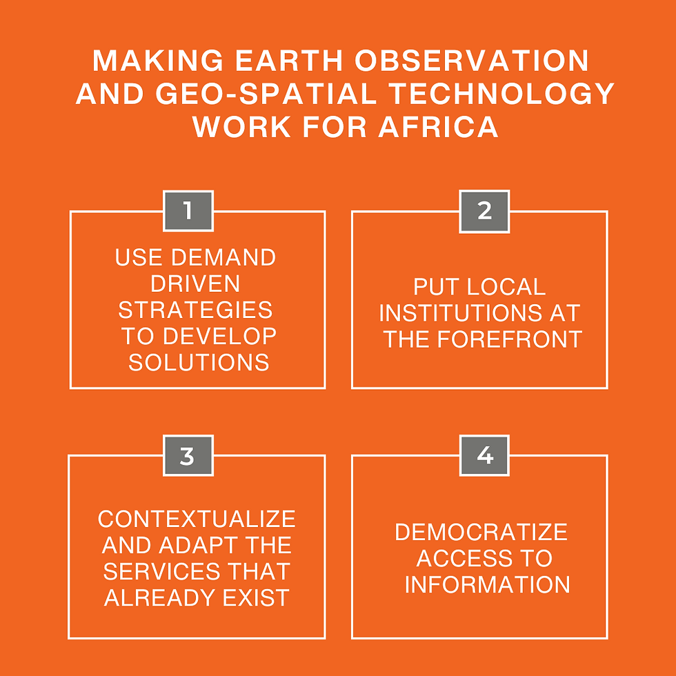
Use demand driven strategies to develop solutions:
Engage stakeholders from across the spectrum of interests, not just in identifying problems, but in defining the solution and the strategy to ensure that products and services meet recognized needs and priorities. The general sentiment was that the problems in West Africa are known; if the problems are known, then why is there such a disconnect between what is developed and what is needed?
Put local institutions at the forefront:
We found that many institutions provide overlapping products and services, each service and product funded by a different project or interest group. As with most development initiatives, the institution is never empowered to provide oversight or coordination, and so what the institution offers is never part of a unified vision. Research organizations should be defining and executing their own research agendas. Until they do, information will not be contextualized to the needs of local communities and decision makers.
Contextualize and adapt the services that already exist:
When institutions and the stakeholders who use their services are driving the design and creation of the services – and not outsiders – existing products and services need to be contextualized and scaled. Instead of a patchwork of services that do not work together or scale existing investments, regional institutions like CILSS and ECOWAS need to drive coordinated and adapted approaches that address needs across the region.
Democratize access to information:
Through apps and other information technology solutions, information can be available for mass use. Importantly, apps can also contribute to the triangulation and validation of satellite and geospatial information. For the democratization of geospatial information, the institutions who produce it must either have the capacity internally for the development of IT solutions, or must be associated with IT service providers, ideally locally.
Geo-spatial information is absolutely critical for managing water resources, understanding the impact of climate change, supporting land planning and land management processes, and supporting critical early warning and weather prediction services. For geo-spatial information to move out of the realm of theoretical in West Africa, it is essential that demand centered approaches are used, that information is localized and democratized, and most importantly, that African institutions drive the process and recognize its value and importance.
Comments